Tesseract Spatial Systems LLC
The Next Dimension of Spatial AI
Spatially aware dynamic intelligence for real-time topological mapping and high-precision routing.
Mission Statement & Vision
The Vision: Advanced intelligence shouldn't be confined to massive, monolithic cloud clusters. Spatial awareness and dynamic reasoning belong at the edge—in the hands of individual developers, embedded devices, local businesses, and specialized enterprises.The Mission: Tesseract Spatial Systems develops lightweight, spatially aware AI models that deliver real-time geometric reasoning, high-efficiency routing, and dynamic modeling everywhere computing happens.
Intelligence at the Edge
Focus: Empowering individuals, embedded platforms, and edge devices.The Message: By stripping away bloated cloud dependencies, our dynamic architecture brings real-time 3D spatial awareness, local database routing, and AR mapping directly to low-power hardware and edge devices without sacrificing accuracy or speed.
01.
Zero-Cloud Spatial Mesh Generation
Creates instant 3D geometry maps directly on local hardware using lightweight camera feeds and IMU sensors—eliminating cloud round-trips and processing lag.
02.
Dynamic 3D Database Queries
Executes real-time spatial lookup without having to rely on inefficient routing algorithms (like Octrees and 3D R-Trees). This occurs directly within low-memory embedded environments.
03.
Tactical Offline Autonomy
Delivers localized mesh routing and spatial orientation that remains 100% operational in air-gapped, denied, or hostile communications environments.
04.
Low-Power Embedded Execution
Optimizes complex topological mathematical models to run on edge robotics platforms and system-on-chip (SoC) architectures without overheating thermal or battery budgets.
05.
Zero-Latency Spatial Telemetry
Delivers continuous 3D state tracking and instant topological re-routing—ensuring true real-time awareness without frame drops or network throttling.
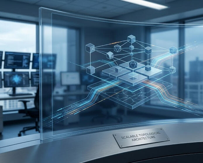
Scalable Topological Architecture
Focus: Small businesses, specialized tech startups, and local infrastructure.The Message: Whether mapping physical spaces or routing complex network topologies, our models offer compact, adaptable spatial intelligence tailored for small-to-medium operations that need precise, deterministic spatial performance.
High-Integrity & Frontier Systems
Focus: Aerospace, satellite GNC, automated robotics, and critical corporate systems.The Message: Built for environments where failure isn't an option. From orbital trajectory planning to dynamic database spatial queries, our geometry-first framework scales up to solve high-stakes navigation and spatial modeling challenges.
01.
Aerospace and Defense GNC Systems
Guidance, Navigation, and Control (GNC)GNC is the triad of systems that determines where a vehicle is, where it needs to go, and how to physically steer it there in real time.Inspired by NASA’s deep-space trajectory calculations and orbital maneuvers, this architecture was born from a fundamental realization: navigating harsh, non-Euclidean environments requires a lightweight model that natively understands spatial geometry—without depending on heavy, centralized cloud infrastructure.
02.
Advanced Robotics and Automated Vehicles
Beyond Staged Demos & Remote ControlReal-world robotics shouldn't rely on human operators hiding in the wings or scripted balance routines. Whether navigating unstructured terrain, managing dynamic payload distributions, or coordinating multi-agent fleets, autonomous machines require native spatial intelligence to make split-second physical decisions on local hardware—no teleoperation required.
03.
Augmented Reality & Virtual Reality Applications
Lightweight Spatial Intelligence for Mixed RealityBig Tech has poured billions into monolithic spatial computing and metaverse architectures—only to be hampered by heavy cloud dependencies, messy database routing, and hardware strain.Tesseract Spatial Systems approaches spatial AI from the ground up: a lightweight, high-efficiency model capable of real-time 3D environment mapping and spatial database routing directly on edge hardware.Beyond consumer hardware, this dynamic spatial intelligence provides deterministic, offline-capable 3D mesh routing for mission-critical applications—from local AR navigation to low-latency spatial guidance for military/civilian personnel isolated or operating beyond support lines
The Boundary of What’s Computable Is Moving
The most powerful intelligence isn't waiting in a massive cloud data center miles away—it’s running natively where the physical world happens. Whether you're mapping new physical dimensions, building next-gen autonomous systems, or rethinking spatial architecture for your enterprise, we’d love to explore and push the bounds of possibility with you.Let’s build the next dimension together.
© Tesseract Spatial Systems. All rights reserved.